Search results
NASA high-definition satellite images. Updated every day since the year 2000.
- Canada
Weather forecasts and LIVE satellite images of Canada. View...
- United States
Weather forecasts and LIVE satellite images of the United...
- United Kingdom
Weather forecasts and LIVE satellite images of the United...
- Canada
Interactive world weather map. Track hurricanes, cyclones, storms. View LIVE satellite images, rain radar, forecast maps of wind, temperature for your location.
Explore worldwide satellite imagery and 3D buildings and terrain for hundreds of cities. Zoom to your house or anywhere else, then dive in for a 360° perspective with Street View.
19 hours ago · A Category 4 storm landed on the Texas shore south of Galveston on Sept. 8, 1900, swallowing Galveston Island, according to the Weather Service. The storm was the deadliest weather-related ...
Satellite captures first-of-a-kind cloud image. A never-seen-before space image of the interior structure of a storm cloud has been released by the European and Japanese space agencies. Their ...
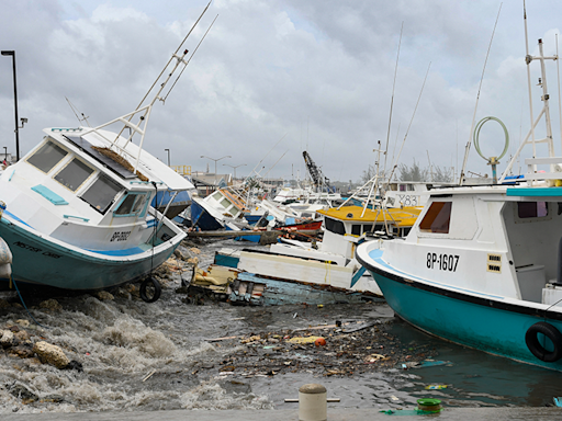
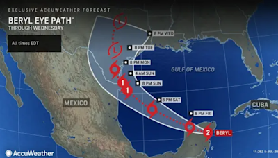
6 hours ago · Hurricane Beryl makes landfall in Texas: See photos and videos of strong winds, rain. Hurricane Beryl strengthened from a tropical storm back into a hurricane early Monday morning, making landfall ...
People also ask
How often are satellite images updated?
How often are NASA high-definition satellite images updated?
How often are EUMETSAT images updated?
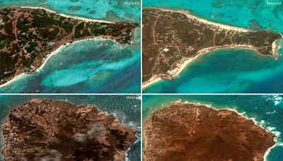
3 days ago · - Hurricane Beryl's Most Eye-Popping Satellite Images ... stunning photos and our meteorologists’ top picks. All in one place, every weekday morning. Email. Forecast Location.


